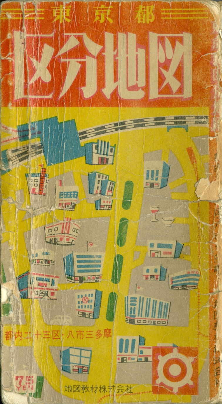
Ward Maps of Tokyo
東京都区分地図
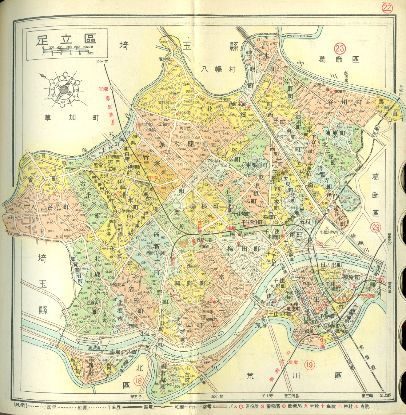 Adachi-ku (Kitasenju) |
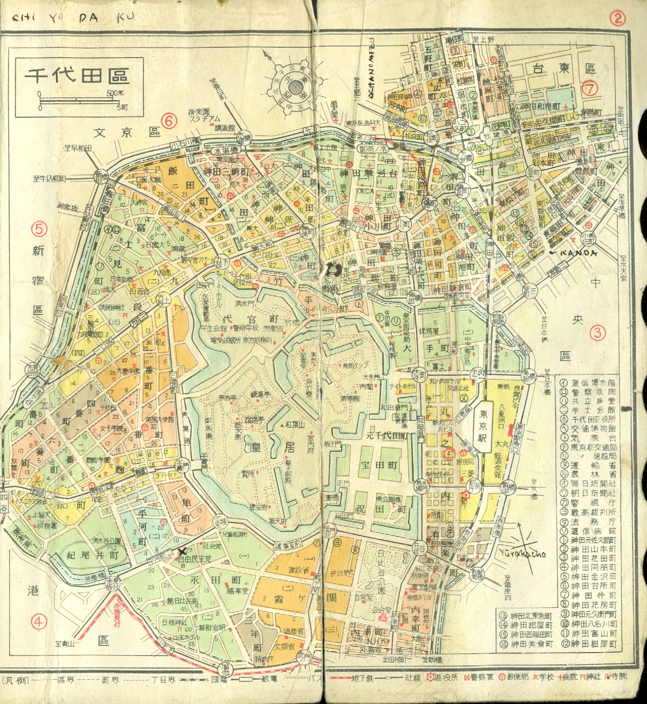 Chiyoda-ku (Tokyo) |
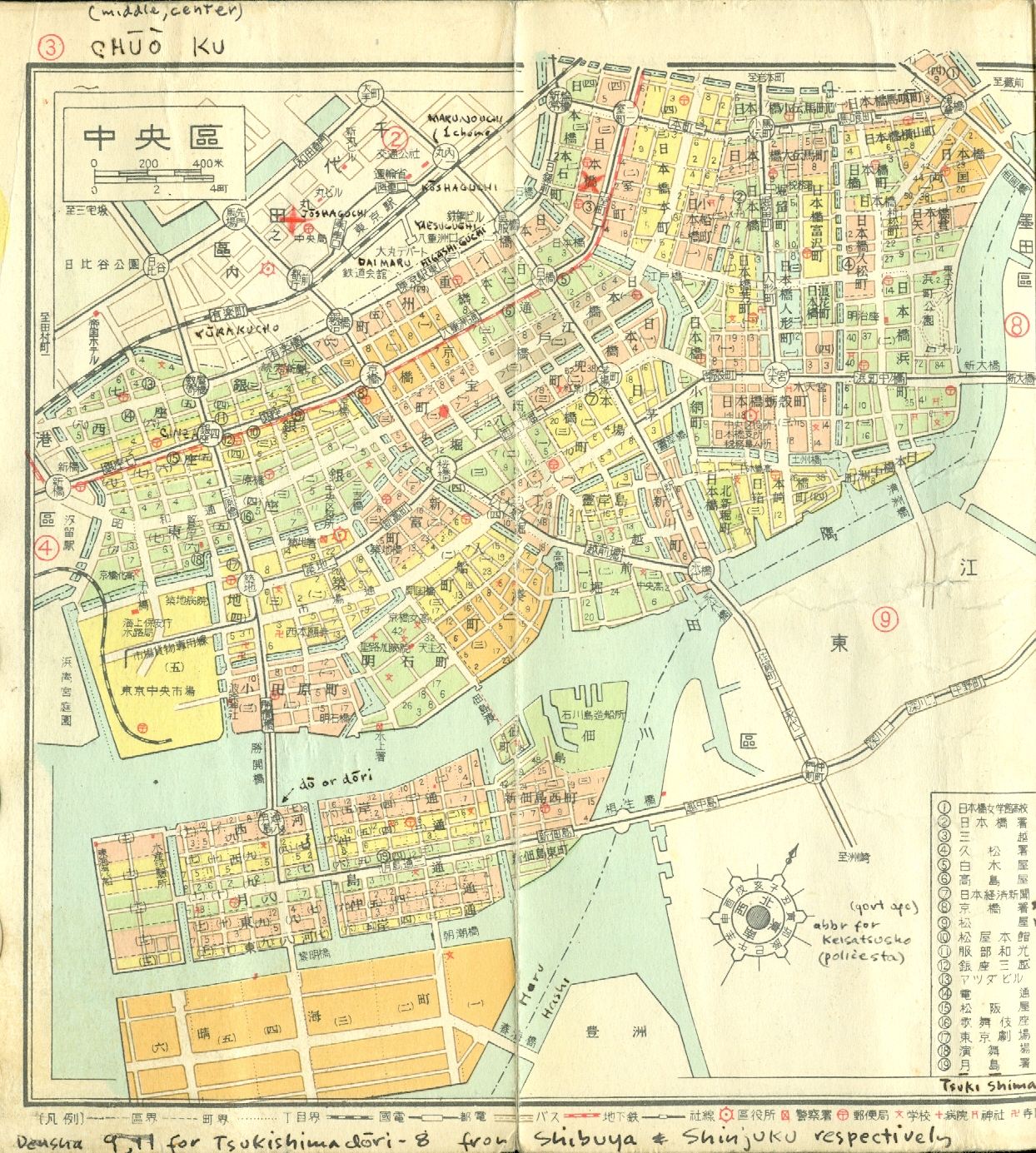 Chuo-ku (Nihonbashi & Tsukiji) |
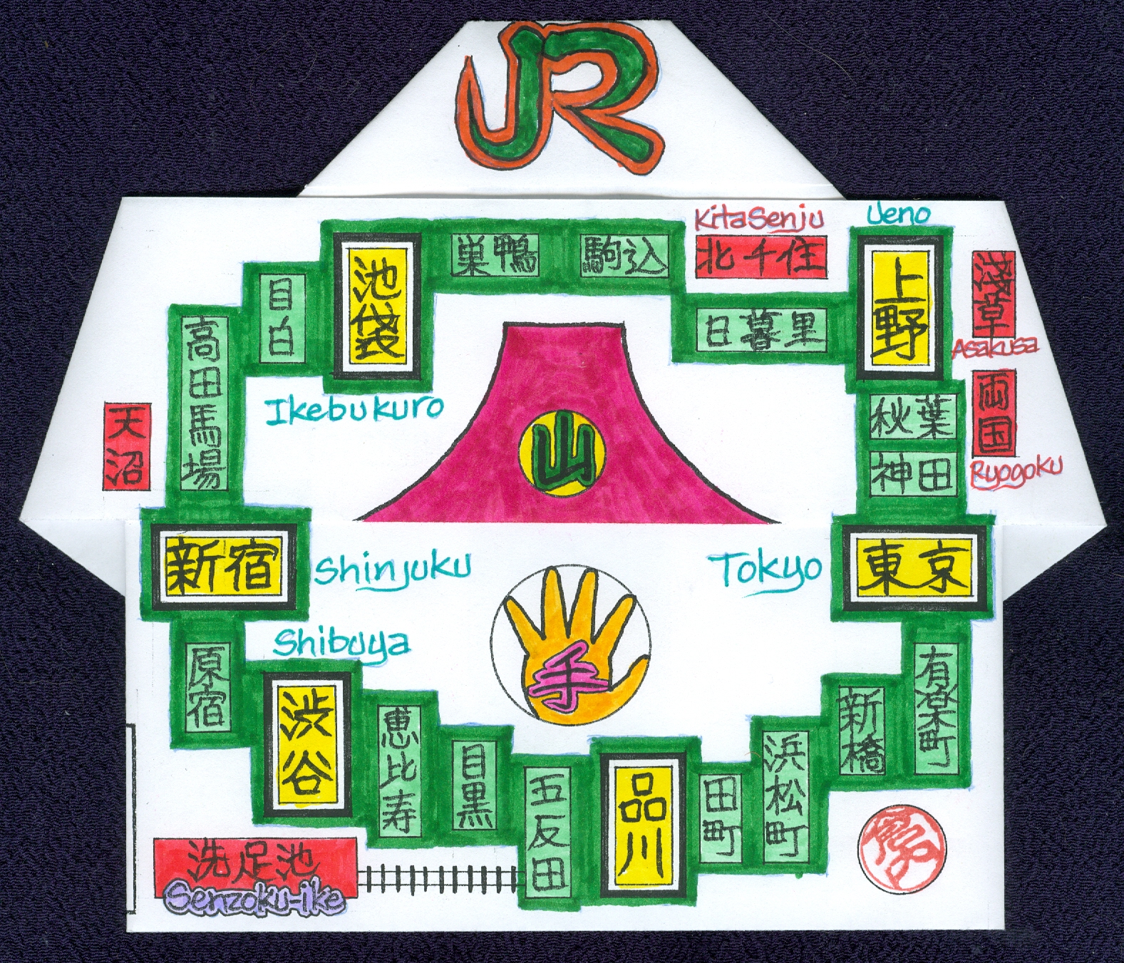
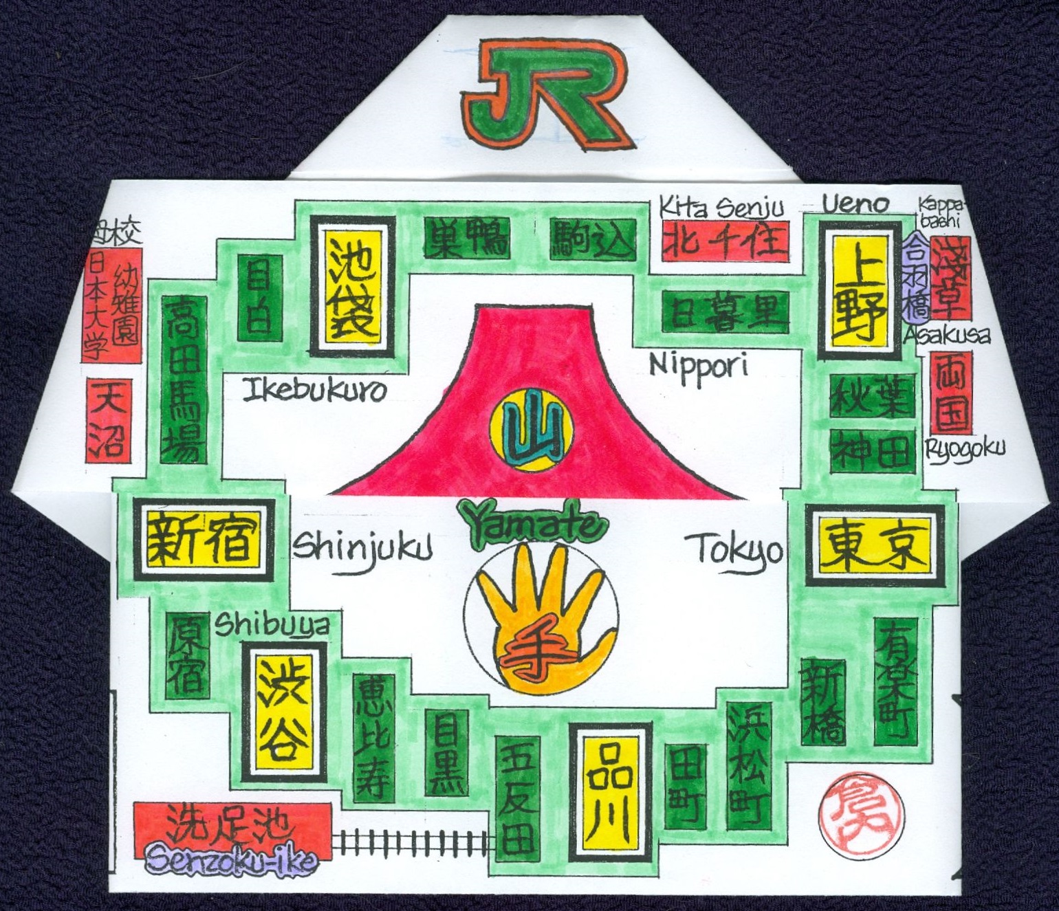
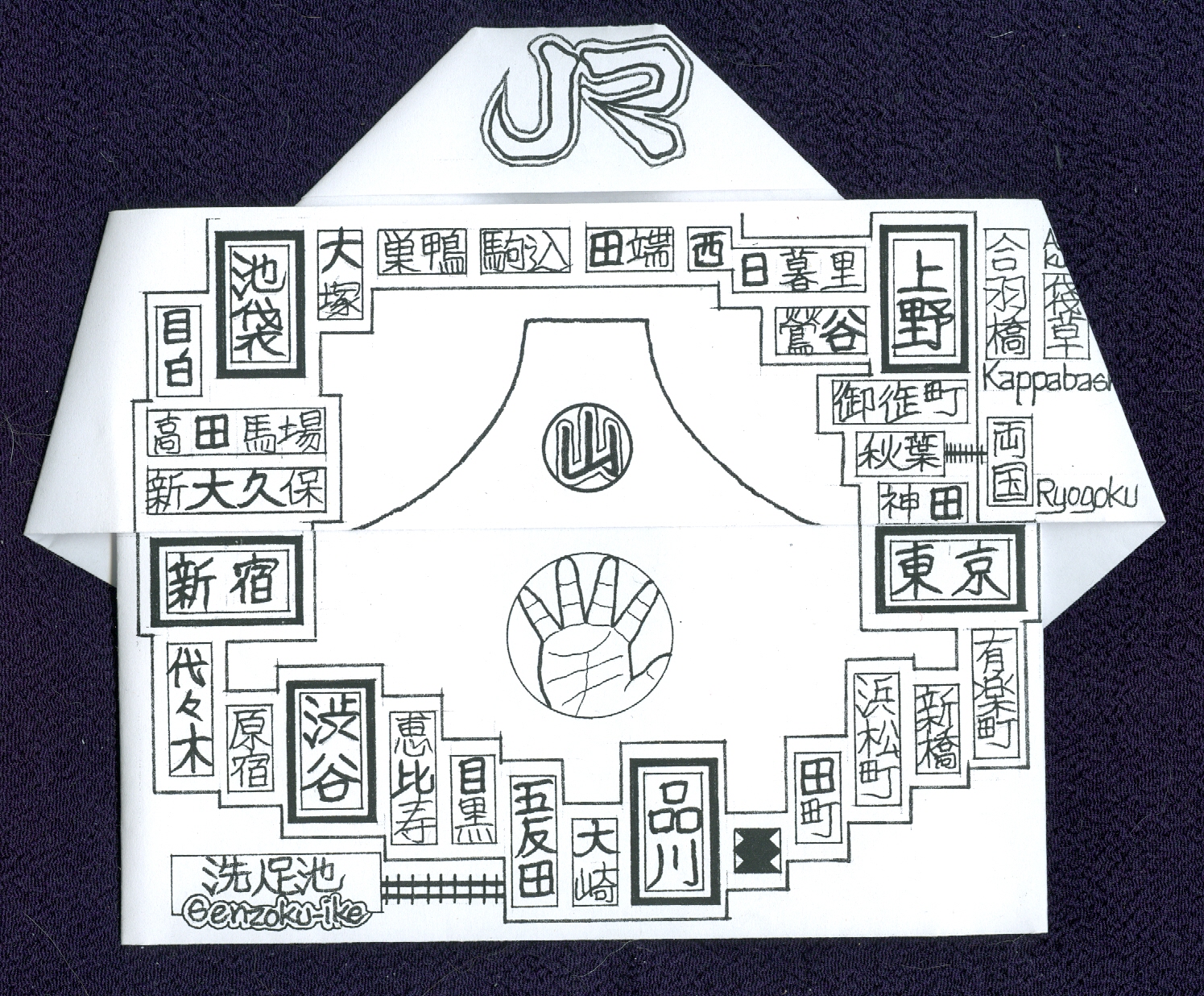
 Ota-ku (Senzoku-ike) |
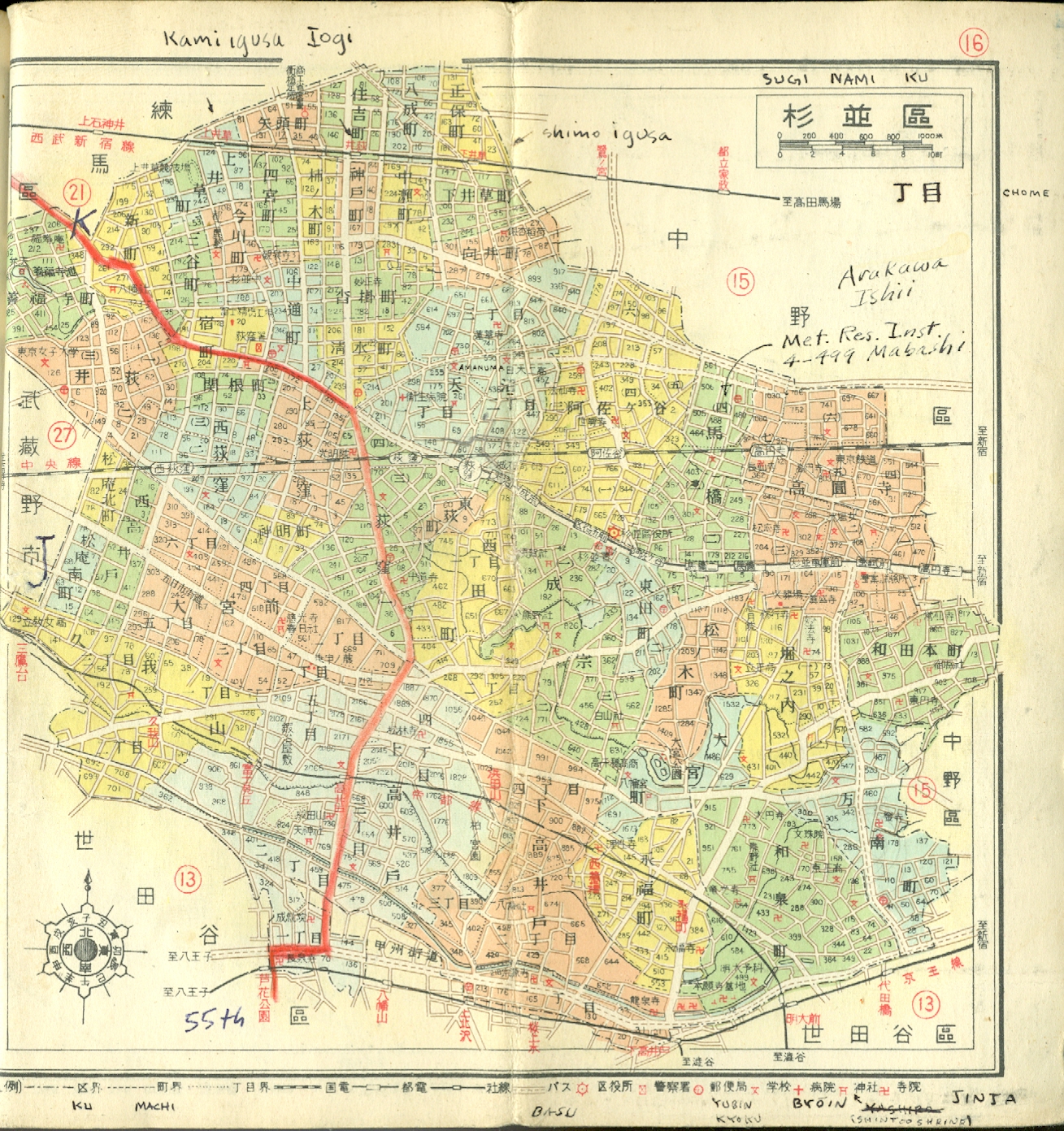 Suginami-ku (Ogikubo & Amanuma) |
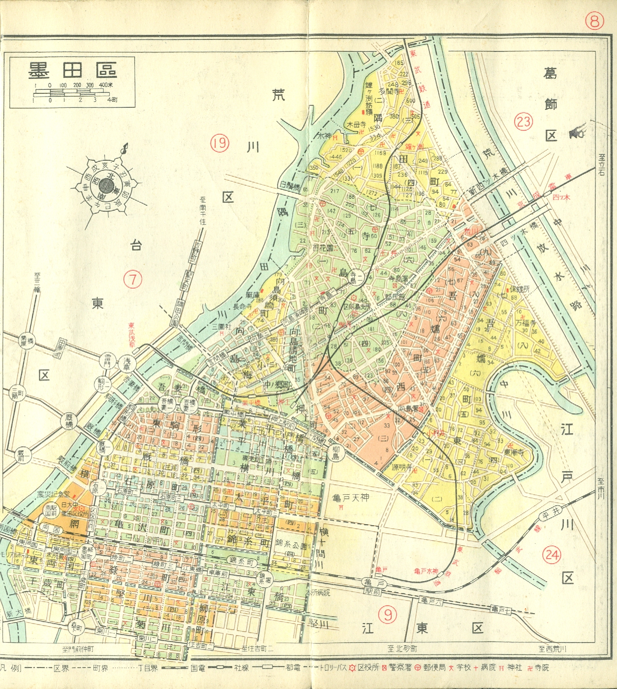 Sumida-ku (Ryogoku) |
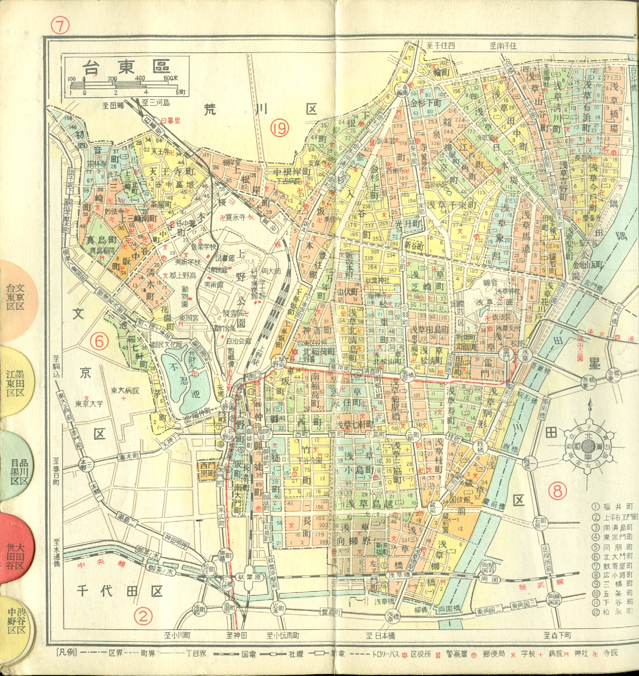
Taito-ku (Ueno & Asakusa) |
(red dot on lower left is Senzoku-ike home)
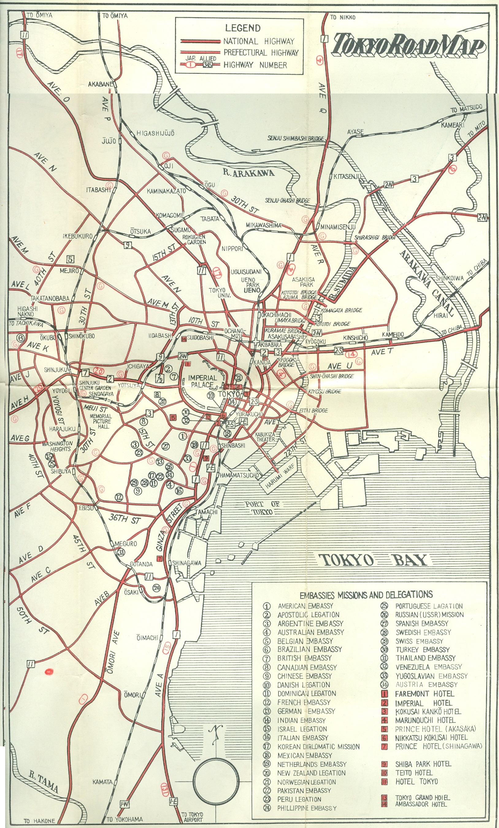
The usage of Alphabet Avenues has disappeared. By 1964 all of Washington Heights (a U.S. Armed Forces enclave) had been returned to Japan.
I attended Yoyogi Elementary School in Washington Heights after being expelled (irreconcilable differences with the Brothers of Christian Instruction) from St. Mary's International School. Michael continued to attend St. Mary's.
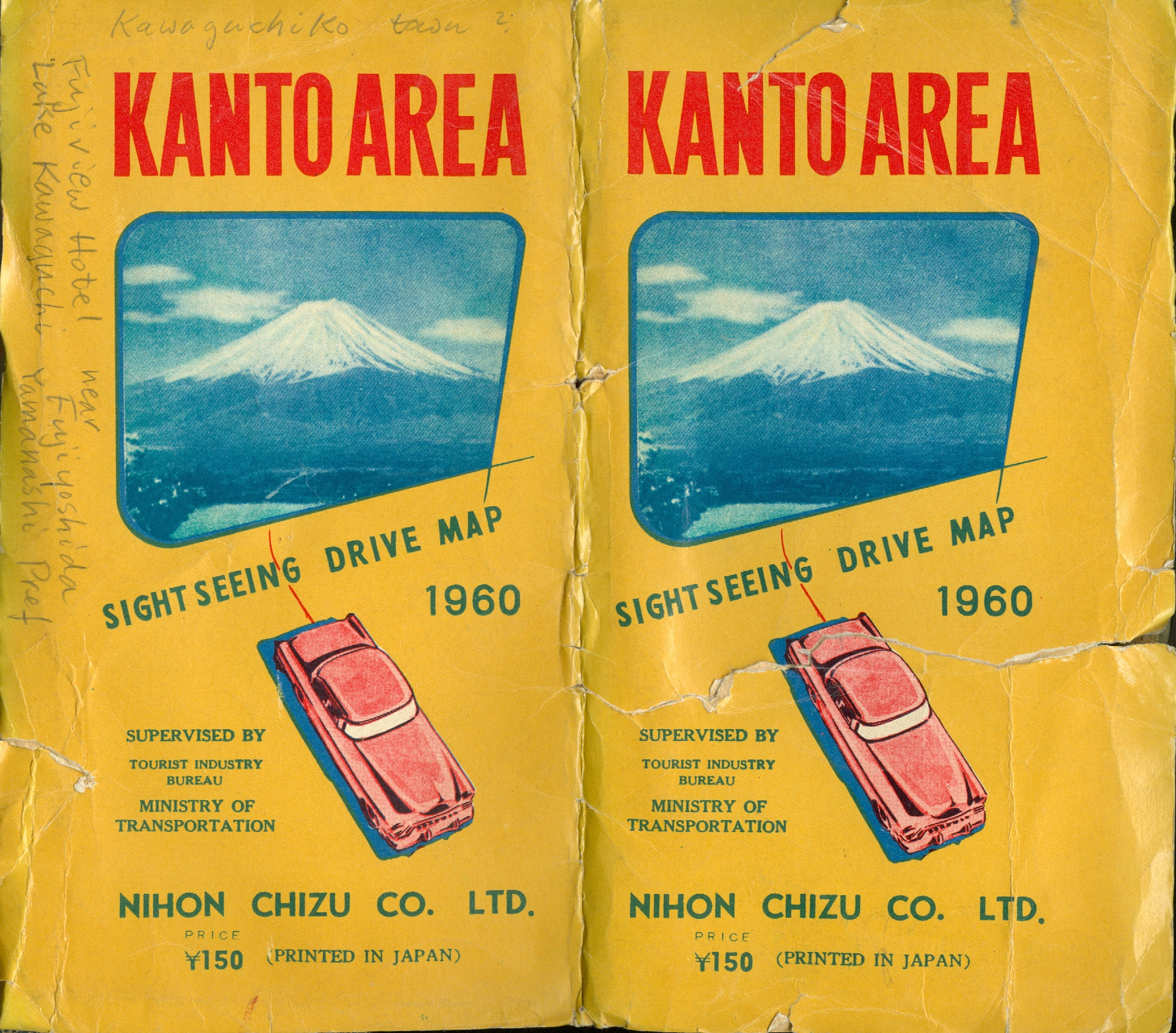
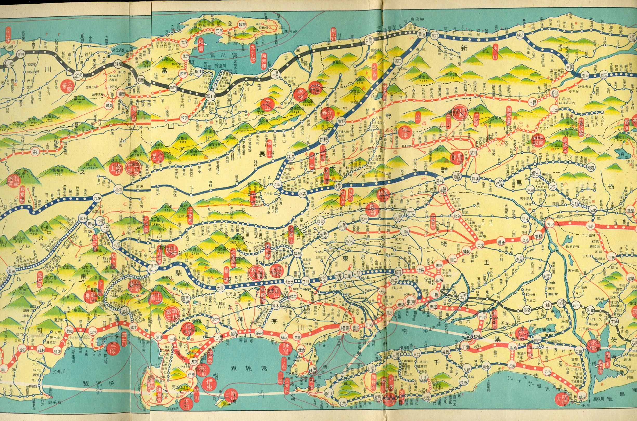
Latest Whole Country Travel Guide Map
最新全国旅行案内地図
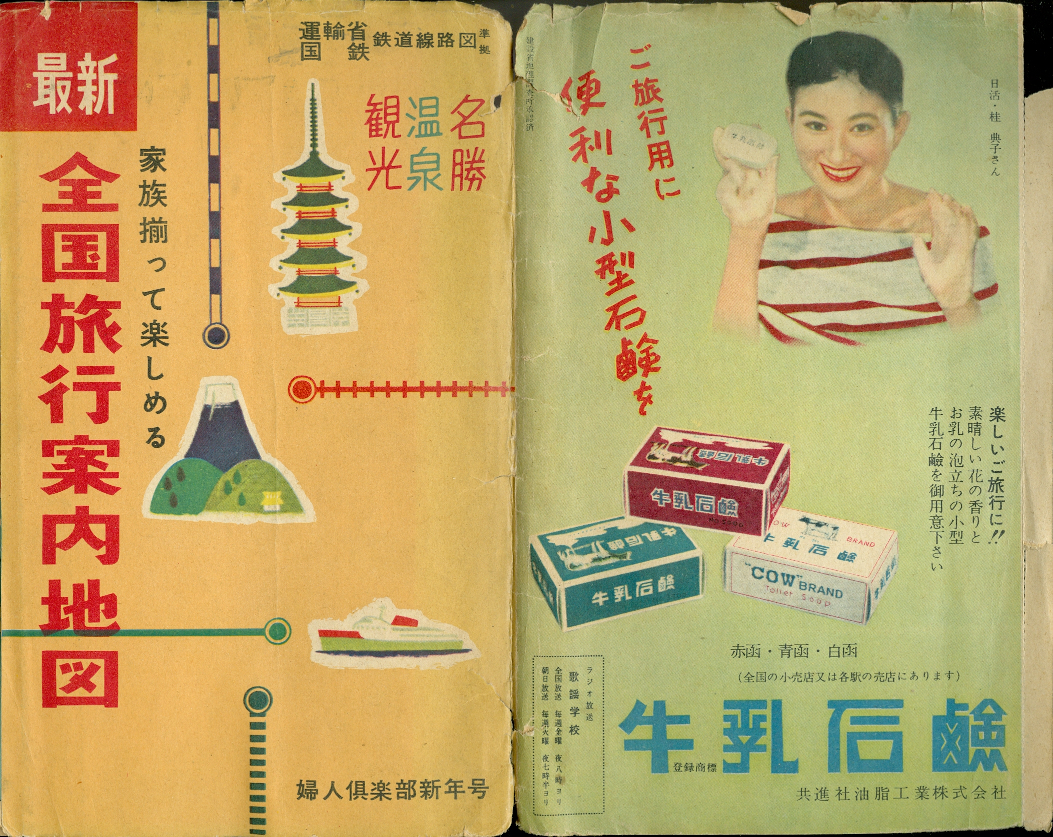

Gifts associated with the different prefectures of Japan
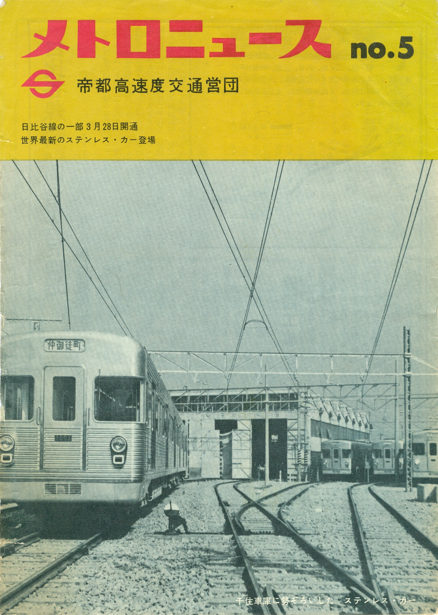
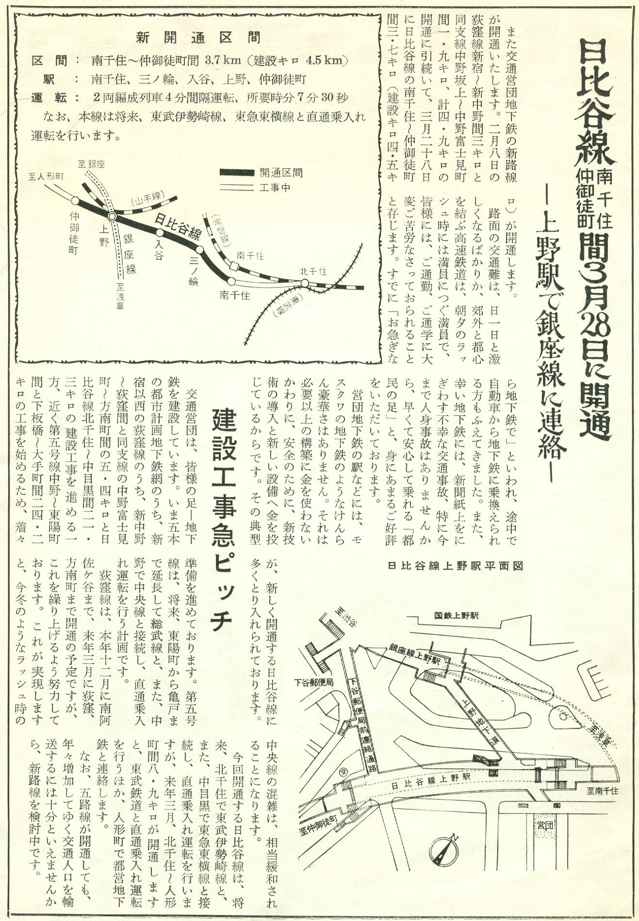
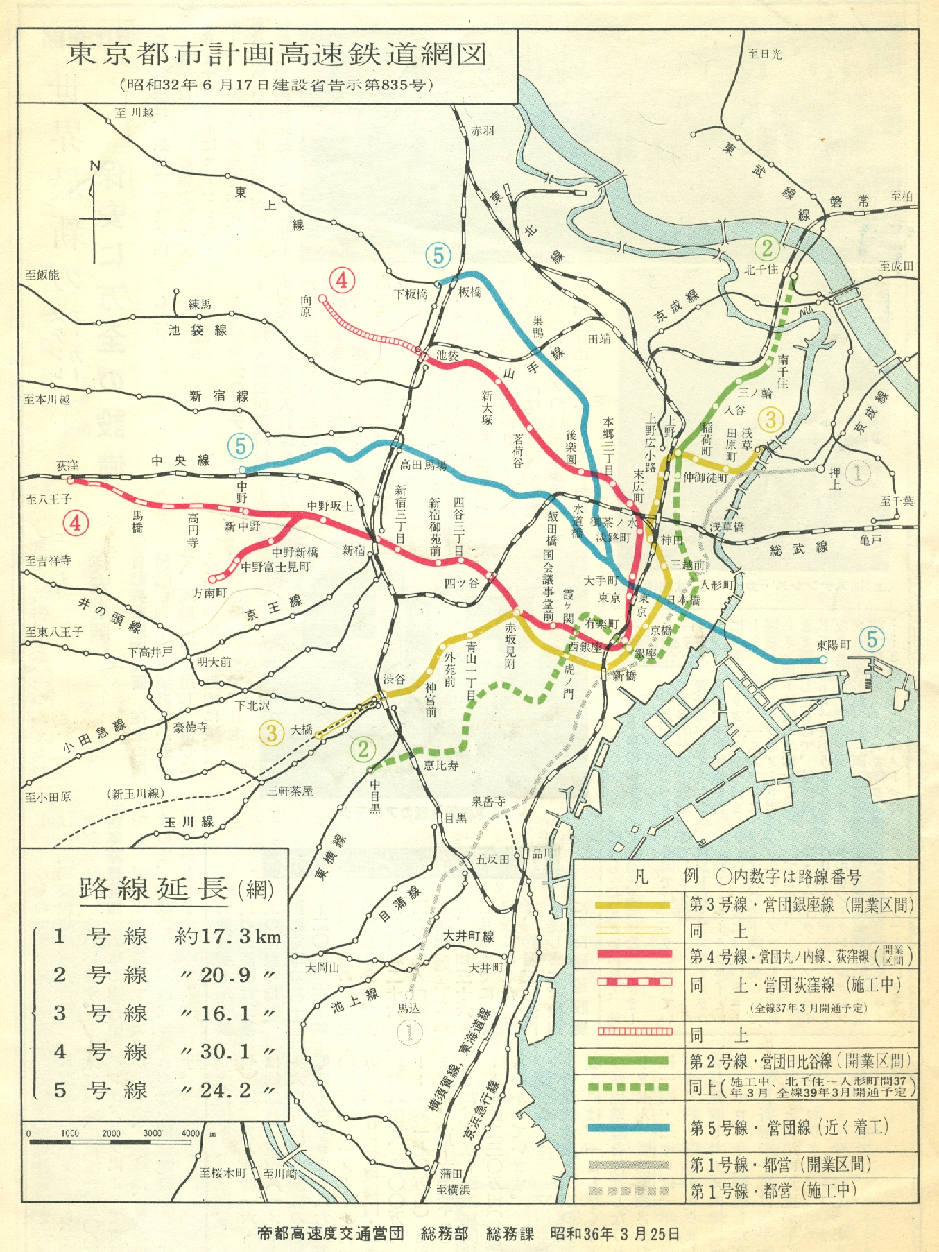
Metro News (Teito Rapid Transit Authority) 25 March 1961
メトロニュース 帝都高速度交通営団 昭和36年3月25日


home